When you click on links to various merchants on this site and make a purchase, this can result in this site earning a commission. Affiliate programs and affiliations include, but are not limited to, the eBay Partner Network.
Russell Cave National Monument, northeastern Alabama
Russell Cave is an archaeological site with one of the most complete records of prehistoric cultures in the Southeast. Thousands of years ago a portion of Russell Cave's entrance collapsed, creating a shelter that, for more than 10,000 years, was home to prehistoric peoples. Today it provides clues to the daily lifeways of early North American inhabitants dating from 10,000 B.C. to 1650 A.D.
Russell Cave has an exceptionally large main entrance, which was used for thousands of years as a shelter by cultures of prehistoric Indians, from approximately 6500 BCE, the period of earliest-known human settlement in the southeastern United States, to 1650 CE and the period of European colonization. It is believed to have primarily served as a seasonal winter shelter. The people relied on the surrounding forest to gather produce and hunt for game and fish, stone and game for tools, and wood fuel for fires.
Chipped flint points and charcoal from campfires provide evidence that occupation of Russell Cave began nearly 10,000 years ago by Native Americans in the southeastern Archaic period. The charcoal remains of the first fires in the cavern date to between 6550 and 6145 BCE, based on radiocarbon dating. As the people were hunter-gatherers, it is likely that they occupied the cave only during the autumn and winter seasons, when they needed more shelter.
Around 1000 BCE, the implements of the Native Americans occupying Russell Cave underwent a dramatic change. Pottery appears for the first time. Smaller weapon points indicate that the bow and arrow had replaced the atlatl. Tools fashioned from bone were more refined. During this period, it is clear that the cave had become simply a hunting camp.
After the close of the Woodland period (around 500 CE), Native Americans made less and less use of Russell Cave. Occasionally, small parties of hunters left objects distinct from those of the Woodland period occupants. These visitors (known as mound builders of the Mississippian culture) came from permanent villages.
Centuries later, Cherokee Indians occupied this part of the Tennessee Valley. They and the subsequent European settlers made little use of the cave.
Russell Cave provides the most thorough artifact records of any prehistoric culture in the southeast. Archeological field surveys have uncovered evidence of the cave's occupants. Around two tons of artifacts have been recovered from the site.
Each year during the first weekend in May, the Russell Cave National Monument hosts a Native American Festival. The festival includes performances of storytelling, dancing, and Native American flute playing. A historical reenactment of a Cherokee encampment is conducted. At this event and at other times throughout the year, demonstrations of Native American lifestyles and weaponry are conducted. Weapons demonstrations include flintknapping to produce points (arrowheads), use of the atlatl for spear throwing, and use of a bow and arrow. Other demonstrations feature wood carving, handbuilding of pottery, and fire building.
Take a short scenic walk along our boardwalk trail to get to the cave shelter. Rounding the final corner will give you a breathtaking view of the two cave entrances. Hear the babbling brook flow into the lower cave entrance and step back in time as you learn about past inhabitants at the mouth of the upper cave entrance.
If you’re looking for more of an adventure, you can side step onto our 1.5 mile hiking trail just off the boardwalk on your way out to the cave shelter.
Whether you’re on the hiking trail, walking out to the cave shelter, or just driving into our park, you will be able to experience the beauty of nature all around you. At our peaceful park, there is a good chance you will see at least one of our many animals wandering around the fields or forest.
Outside at our gazebo, rangers will periodically offer prehistoric weapons and tools demonstrations.
Picnic benches can be found around the parking area of Russell Cave.
Not just a great valley, but a shrine to human foresight, the strength of granite, the power of glaciers, the persistence of life, and the tranquility of the High Sierra.
First protected in 1864, Yosemite National Park is best known for its waterfalls, but within its nearly 1,200 square miles, you can find deep valleys, grand meadows, ancient giant sequoias, a vast wilderness area, and much more.
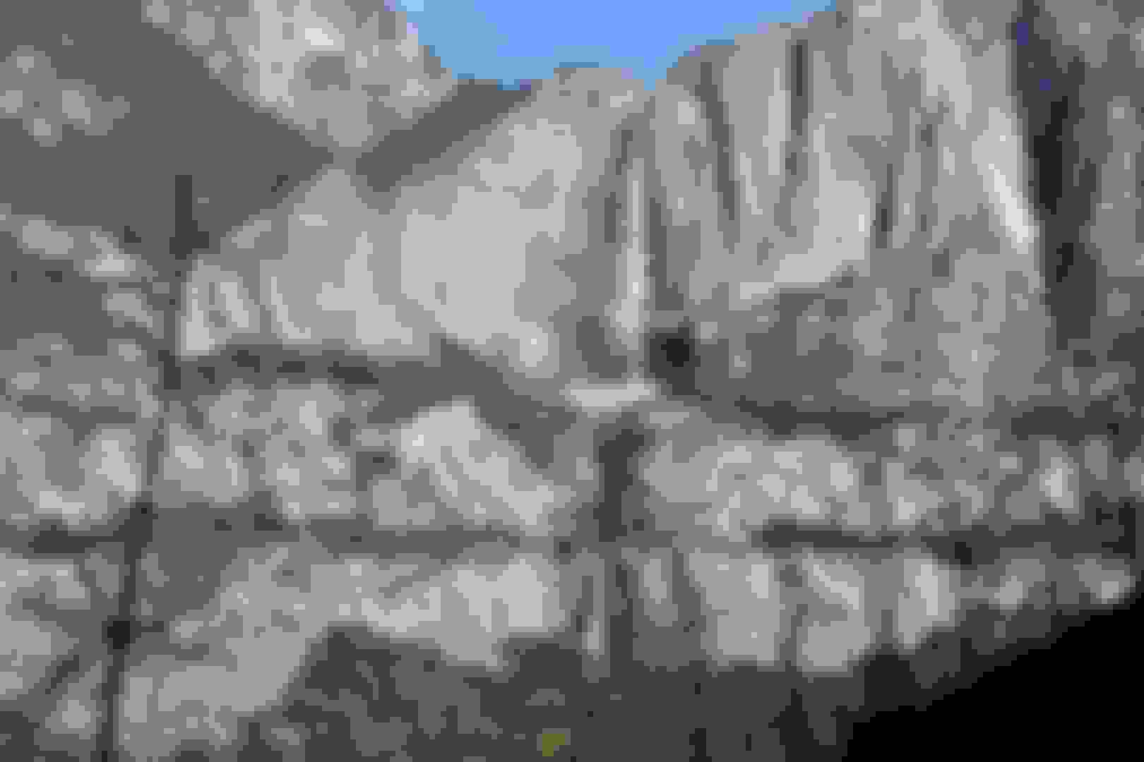
Upper Yosemite Falls
El Capitan
The "four mile trail" is an over 9 1/2 mile,strenuous rated,round trip hike.
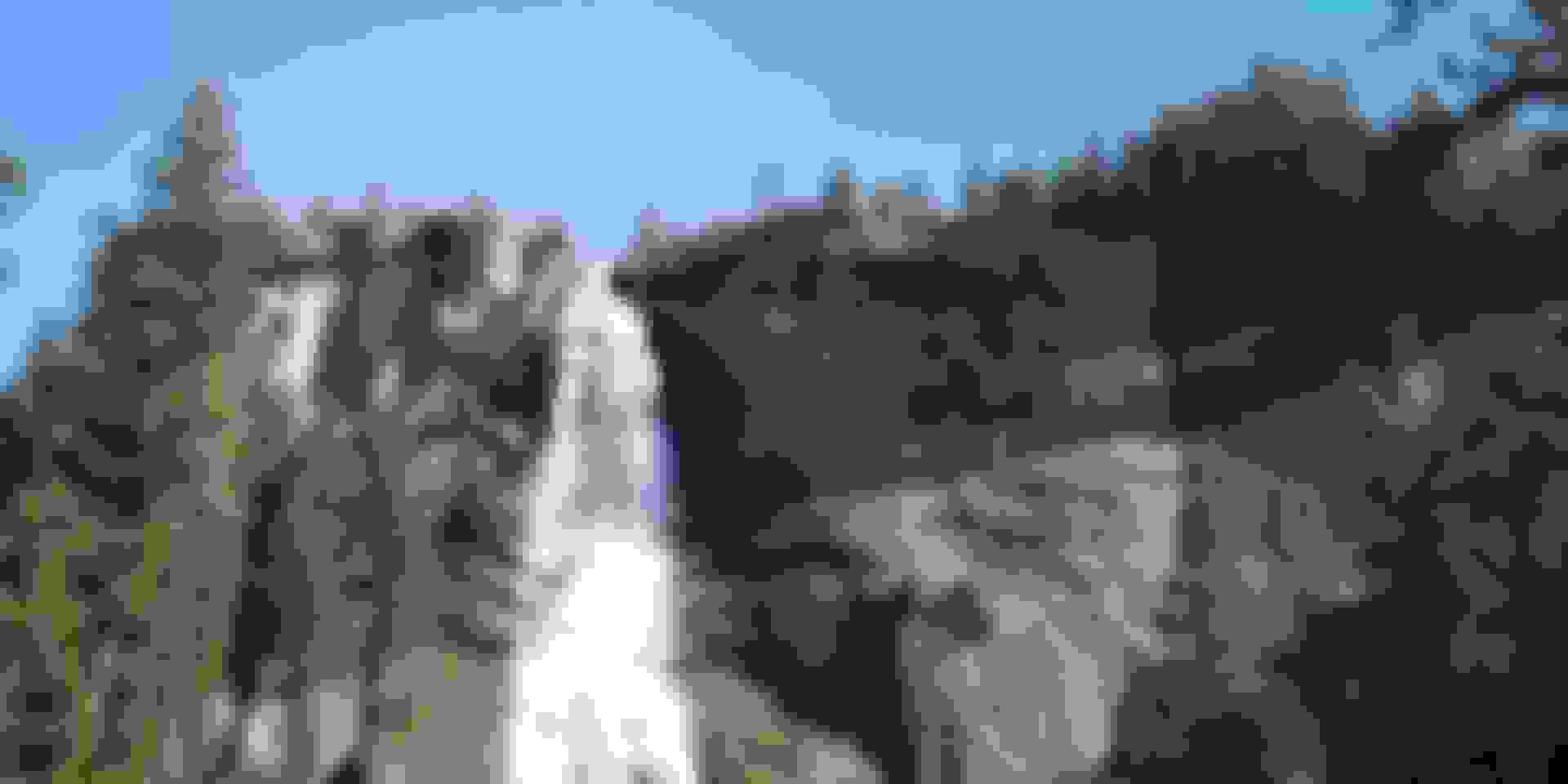
From up here, you can see all three sections of Yosemite Falls; Lower,middle,upper.
Upper Yosemite Falls - Taken on the way up to Glacier Point on the Four Mile Trail.Raw image processed using lightroom just enough to help the colors pop.When I saw the rainbow,I switched over to RAW&JPEG in cam so I could preserve the rich colors.
Watch your step. If you slip here, that's all she wrote.
The whole view of Yosemite falls, further up the trail.
Half dome is the large peak to the left. Those waterfalls to the right are Vernal (lower) & Nevada (upper) To reach those,is a good hike in itself and I hike to those as well as shown below. This viewpoint and endpoint of the "four mile trial" is called "Glacier Point. You can drive up here as well, though in the winter you'll have to hike as they close the road.
Half Dome
Vernal Fall
Nevada Fall
Tuolumne Grove of Giant Sequoias
Bridalveil Fall
Lower Yosemite Falls
Hetch Hetchy Reservoir
Tunnel view
Indian Village of the Ahwahnee & Museum.
Although we know very little about the earliest residents, people have been living in the Yosemite area for as long as 8,000 years. Archeological evidence suggests that the earliest people ground seeds on small flat stones and hunted using spears and atlatls.
The lifeways of the early inhabitants changed over time as one culture replaced another and as oral histories and traditions were passed down through generations. Yosemite Valley came to be called Ahwahnee, meaning gaping mouth-like place. The people called themselves Ahwahneechee.
Indian people have lived in Yosemite for nearly 4,000 years. Miwok legends tell of the creation of people here, and of events that took place long before the coming of non-Indians. By the late 18th century, it appears that most of Yosemite was populated by Southern Miwok people, with Central Miwok people utilizing the northern quarter of the park.
The lives of Indian people in the Sierra Nevada have changed greatly since the 1790s, when the first influences of non-Indians were felt. During the 19th century, Mono Lake Paiute people from east of the Sierra crest, former Mission Indians from the California coast, and Chukchansi Yokuts and Western Mono people came to live with the indigenous Southern Miwok people of the Yosemite region.
The California Gold Rush of 1849 brought thousands of non-Indian miners to the Sierra Nevada. Many miners were ruthless in their search for gold, and thousands of Miwok people were killed or died of starvation.
(more honesty is posted here about the 49ers I see, as opposed to death valleys website which omits this hard truth.)
After 1900, the number of Indian people living in Yosemite began to shrink. The older Indian Village was disbanded in the early 1930s and a group of cabins was established as a new Indian Village (with the National Park Service as landlord).
Today, descendants of Yosemite’s native people live both nearby and scattered throughout the world. In 1990 over 400 Indian people resided in Mariposa County and 500 in Tuolumne Country.
Museum of the Cherokee Indian, Eastern Cherokee Reservation,Cherokee, NC
Cherokee art, history & culture presented via exhibits, digital films, photographs & holographs.
“Story of the Cherokees: 13,000 Years” received an award from the National Association for Interpretation, and has been called “A model for museums,” by Van Romans, Disney Imagineering. This exhibit uses artifacts, artwork, life-sized figures, computer generated animation to tell the story of the Cherokee people and their long life in the southern Appalachians. Here is some of the information and a few of the artifacts from the exhibit.
Paleo
Cherokee elders say they have lived in the southern Appalachians forever–that the Creator placed them here and gave them their language and customs. Artifacts show continual occupation for more than 13,000 years. During the last Ice Age, people hunted mega fauna with spears, killing mastodons for food. They also gathered wild plants, nuts, and berries, which made up about 75% of their diet. Small groups traveled throughout the mountains on seasonal rounds. Only their stone tools remain.
Archaic
Beginning about ten thousand years ago, people developed more sophisticated tools and weapons, which included the atlatl for hunting and weighted nets for fishing. Mega fauna such as the mastodon and woolly mammoth became extinct, and smaller animals like the white-tailed deer became an important source of food. Fluted Paleo points changed to atlatl points with stems and barbs.
Woodland
People began living in towns year round. They developed pottery that was impressed with designs and used for cooking. They continued to use the atlatl, but began also using blowguns along with bows and arrows. Stone pipes were carved for use in ceremonies where the smoke carried prayers to the Creator.
Mississippian
During this time, people developed a new variety of corn called eastern flint, which closely resembles modern corn. It was grown with beans and squash (known as the “Three Sisters,”) in fields surrounded by gourd birdhouses hung on poles. These provided homes for purple martins, birds who eat destructive insects and keep crows and blackbirds away from the corn.
Contemporary
Cherokee people still live on part of their ancient homeland in the southern Appalachians. They are the Eastern Band of Cherokee Indians, about 15,000 people. Cherokee people live in Oklahoma: the Cherokee Nation (about 300,000 people) and United Keetoowah Band (about 15,000 people). These three federally-recognized tribes are all the descendants of the Cherokees who lived in the southern Appalachians.
Sequoia's winters were sixteen silent tongue spirit clean
He walked at his father's side
Across the smoking battle ground where red and white men lay all around
So many here had died
The wind had scattered around snow white leaves upon the ground
Not leaves like leaves from trees
Sequoia said what can this be what's the strange thing here I see
From where come leaves like these
Sequoia turned to his father's eyes and he said father you're wise
From where come such snow white leaves
With such strange marks upon these squares
Not even the wise owl could put them there
So strange these snow white leaves
His father shielding his concern resenting the knowledge Sequoia yearned
Crumbled the snow white leaves
He said when I explain then it's done these are talking leaves my son
The white men's talking leaves
The white man takes a berry of black and red
And an eagle's feather from the eagle's bed
And he makes bird track marks
And the marks on the leaves they say carry messages to his brother far away
And his brother knows what's in his heart
They see these marks and they understand the truth in the heart of the far off man
The enemies can't hear them
Said Sequoia's father son they weave bad medicine on these talking leaves
Leave such things to them
Then Sequoia walking lightly followed his father quietly but so amazed was he
If the white man talks on leaves why not the Cherokee
Vanished from his father's face Sequoia went from place to place
But he could not forget
Year after year he worked on and on till finally he cut into stone
The Cherokee alphabet
Sequoia's hair by now was white his eyes began to lose their light
But he taught all who would believe
That the Indian's thoughts could be written down
Just as the white men's there on the ground and he left us these talking leaves
Museum of the Cherokee Indian, Eastern Cherokee Reservation,Cherokee, NC
2020 update:
I probably should take this time for a brief lesson, that all of us outside of the Cherokee Nation should know:
“There’s a running joke in Indian country,” said a spokesperson for the Cherokee Nation in 2012. “If you meet somebody who you wouldn’t necessarily think they’re Native, but they say they’re Native, chances are they’ll tell you they’re Cherokee.”
But “Cherokees are among the best documented people in the world,” says David Cornsilk, a researcher of Cherokee genealogy.
If your ancestor’s name can’t be located in those documents, the chance that you’re actually Cherokee is slim to none.
When it comes to being Indian, the rules are as simple as this;
Family lore = no.
Family of tribes claiming you, not you trying to claim them = yes.
Please reject and do your best to stop passing down family lore, even if you're sure your mom or dad seemed sincere about heritage. That's simply not the same as being Indian. There is no more such thing as being "part" Cherokee than there is to be "part" American. Just like you, we natives are humans. We are neither dogs nor horses. If you're not a "full bred" like those white men who stepped off the mayflower, you don't call yourself "part" American now do you?
It's as simple as that and there is no gray area or in between. We are enrolled members of our respective sovereign nations, we are not ethnic groups. There is no self identifying as Native American Indian. Be proud of who you are. There's absolutely no shame in being white. Be proud. Don't go too far and think yourself as superior or better than of course but there's neither guilt nor shame in being a white man. Walk tall.
Shenandoah National Park, Blue Ridge Mountains,Virginia
Shenandoah National Park extends along the Blue Ridge Mountains in the U.S. state of Virginia. The Skyline Drive runs its length, and a vast network of trails includes a section of the long-distance Appalachian Trail.
The Manahoac, also recorded as Mahock, were a small group of Siouan-language American Indians in northern Virginia at the time of European contact. They numbered approximately 1,000 and lived primarily along the Rappahannock River west of modern Fredericksburg and the Fall Line, and east of the Blue Ridge Mountains. They united with the Monacan, the Occaneechi, the Saponi and the Tutelo. They disappeared from the historical record after 1728. The language of the Manahoac is not known, although John Smith stated that they spoke a language different from that of the Monacan.
Archaeological evidence shows that an earthen mound burial culture existed in the Piedmont from 950 AD to the time of European contact.
These burial mounds, some of them reaching heights of at least 6 meters (20 ft), are believed to have been made by the ancestors of the Manahoac and other eastern Siouan groups. They are unique in that they contained hundreds to thousands of corpses. They are sometimes called "accretional mounds". The people added more soil to them as additional individuals were buried within. Most of the burial mounds have been either completely destroyed by plowing or significantly reduced in size by erosion and flooding. https://en.wikipedia.org/wiki/Manahoac
The Manahoacs no longer exist as a distinct tribe. They merged together with their Tutelo and Saponi neighbors in the 18th century. Most Manahoac descendants still live among the Tutelos and Saponis today, although like other southern Siouan groups, there are probably people of Manahoac descent among the Lumbee tribe. http://www.native-languages.org/manahoac.htm
It is thought they numbered only 1,500. These were the Indians Captain John Smith encountered during his trip up the Rappahannock River in 1608. Smith spent the night on Belmont Hill with this tribe. https://staffordcountymuseum.com/art...ectile-points/
If the outdoors is your thing, Shenandoah is the place to be! With over 500 miles of hiking trails, and almost all of its 196,000 acres open to backcountry camping, you can spend your entire vacation outdoors! You'll find unique opportunities for birdwatching, wildlife viewing, discovering the natural world, or simply gazing across the horizon.
Besides small cascades along streams, there are large and lovely waterfalls in each section of Shenandoah National Park.
Shenandoah National Park contains over 70 mountain streams that support diverse aquatic resources including brook trout populations. Fishing opportunities are abundant but are also regulated in order to preserve and protect fish resources.
In 2017, roughly 80% of people in North America cannot see the Milky Way due to electric lights at night. In other words, our dark night skies often really aren’t all that dark. When was the last time you were able to experience the awe of seeing a sky full of stars? It can be easy to feel disconnected from, or simply forget about, the beauty and sheer vastness of the cosmos. The National Park Service recognizes dark night skies as a valuable resource that needs to be protected.
While Shenandoah National Park may not get as dark as some of the Parks out in the west or northern United States, its high elevation, combined with its relative remoteness from dense urban areas, make the Park a great place to engage in stargazing on the east coast.
On moonless and cloud-free nights it is a wonderful spot to view the Milky Way or some of the 2500 stars visible to the unaided eye that make up one of the 88 official constellations.
Though I've visited last year (winter of 2017) I was unable to get any pics due to getting rained out.I didn't get to enjoy the park as it was raining and overcast.It was nice to finally drive through and enjoy the park this winter (2018). I'll no doubt visit many times in the coming years.
Last edited by FORDF250HDXLT; 04-13-2020 at 03:14 PM.
Reason: Updated info
Hubbell Trading Post National Historic Site, Navajo Nation,Ganado,Arizona
Hubbell Trading Post National Historic Site is a historic site on Highway 191, north of Chambers, with an exhibit center in Ganado, Arizona. It is considered a meeting ground of two cultures between the Navajo and the settlers who came to the area to trade.
Hubbell Trading Post National Historic Site is declared a National Historic Landmark.
When the Navajos returned from The Long Walk in 1868, they found their herds decimated, their fields destroyed. Their way of life was ripped apart and their life was forever changed. The Navajos were troubled by an economic depression in the late 19th century as a result of the Long Walk. Thus, trade became increasingly important.Heavy sandstones from the area were quarried in 1883 to begin construction of this solid building along the southern banks of the Pueblo Colorado Wash. Life at Hubbell Trading Post centered around it. The idea of trading was not new to the Navajos. Native American tribes in the Southwest had traded amongst themselves for centuries. During the four years' internment at Bosque Redondo, Navajos were introduced to many new items (e.g., flour, sugar, coffee, baking powder, canned goods, tobacco, tools, cloth, etc.). When the Anglos came to trade with the Navajos, the difference was in the products exchanged, and in the changes brought about by these exchanges. Traders like Hubbell supplied these items.Trade with men like Hubbell became increasingly important for the Navajos. The trader was in contact with the world outside the newly created reservation; a world which could supply the staples the Navajos needed to supplement their homegrown products. In exchange for the trader's goods the Navajos traded wool, sheep and, later, rugs, jewelry, baskets and pottery. It was years before cash was used between trader and Navajos.
Hubbell family members operated this trading post until it was sold to the National Park Service in 1967. The trading post is still active, operated by the non-profit Western National Parks Association, which maintains the trading traditions the Hubbell family established.
Today, Hubbell Trading Post National Historic Site is still situated on the original 160-acre homestead, which includes the trading post, family home, out buildings, land and a visitors center. Visitors can experience this historic trading post on the Navajo Nation, which includes weaving demonstrations; and the store still maintains a wooden floor and walls from the days of old. A set of initials carved on the gate of the privacy wall which separates the public spaces from the private stand for John Lorenzo Hubbell.
The Long Walk of the Navajo , also called the Long Walk to Bosque Redondo (Navajo: Hw�eldi), refers to the 1864 deportation and attempted ethnic cleansing of the Navajo people by the United States federal government. Navajos were forced to walk from their land in what is now Arizona to eastern New Mexico. Some anthropologists claim that the "collective trauma of the Long Walk...is critical to contemporary Navajos' sense of identity as a people".
The march was one that was very difficult and pushed many Navajos to their breaking point, including death. The distance itself was cruel, but the fact that they did not receive any aid from the soldiers was devastating. Not every single person was in prime condition to trek 400 miles. Many began the walk exhausted and malnourished, others were not properly clothed and were not in the least prepared for such a long journey. Neither sympathy nor remorse were given to the Navajos. They were never informed as to where they were going, why they were being relocated, and how long it would take to get there.
This is one of the few instances where the U.S. government permitted a tribe to return to their traditional boundaries. The Navajo were *granted 3.5 million acres of land inside their four sacred mountains. The Navajo also became a more cohesive tribe after the Long Walk and were able to successfully increase the size of their reservation since then, to over 16 million acres.
As I have said, our ancestors were taken captive and driven to Hw�eldi for no reason at all. They were harmless people, and, even to date, we are the same, holding no harm for anybody...Many Navajos who know our history and the story of Hw�eldi say the same. — Navajo Stories of the Long Walk Period
https://en.wikipedia.org/wiki/Long_Walk_of_the_Navajo
(*CORRECTION: They Navajo would not be "granted" their lands. They would be "returned". "Granted" implies they were gifted something that didn't belong to them. Sovereign Tribal Nations have inherit land rights on Turtle Island. The US governments lands are the ones who have been "granted" their lands, via treaty from Indian tribes. More often than not by the way, via immoral and unethical means. So no "granting" of lands by the US government was issued here. They were returned. Not that this very honorable gesture shouldn't be highly commended however!)
1 Hour - See the exhibits at the Visitor Center and walk through the Trading Post OR Stroll around the homestead and attend one of the free programs.
2 Hours - See the exhibits at the Visitor Center, walk the Veterans Trail, look inside the Trading Post, stroll around the homestead and attend one of the free programs.
3 Hours - See the exhibits at the Visitor Center, walk the Veterans Trail, look inside the Trading Post, stroll around the homestead and attend two of the free programs.
In beauty I walk
With beauty before me I walk
With beauty behind me I walk
With beauty above me I walk
With beauty around me I walk
It has become beauty again
It has become beauty again
It has become beauty again
It has become beauty again
Today I will walk out, today everything unnecessary will leave me,
I will be as I was before, I will have a cool breeze over my body.
I will have a light body, I will be happy forever,
nothing will hinder me.
I walk with beauty before me. I walk with beauty behind me.
I walk with beauty below me. I walk with beauty above me.
I walk with beauty around me. My words will be beautiful.
In beauty all day long may I walk.
Through the returning seasons, may I walk.
On the trail marked with pollen may I walk.
With dew about my feet, may I walk.
With beauty before me may I walk.
With beauty behind me may I walk.
With beauty below me may I walk.
With beauty above me may I walk.
With beauty all around me may I walk.
In old age wandering on a trail of beauty, lively, may I walk.
In old age wandering on a trail of beauty, living again, may I walk.
My words will be beautiful.
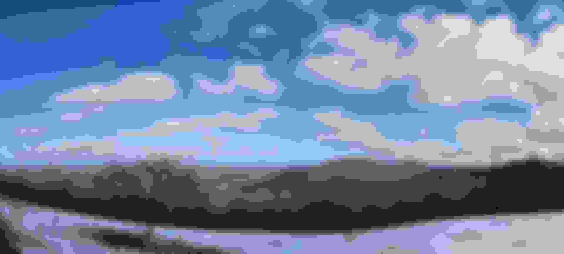
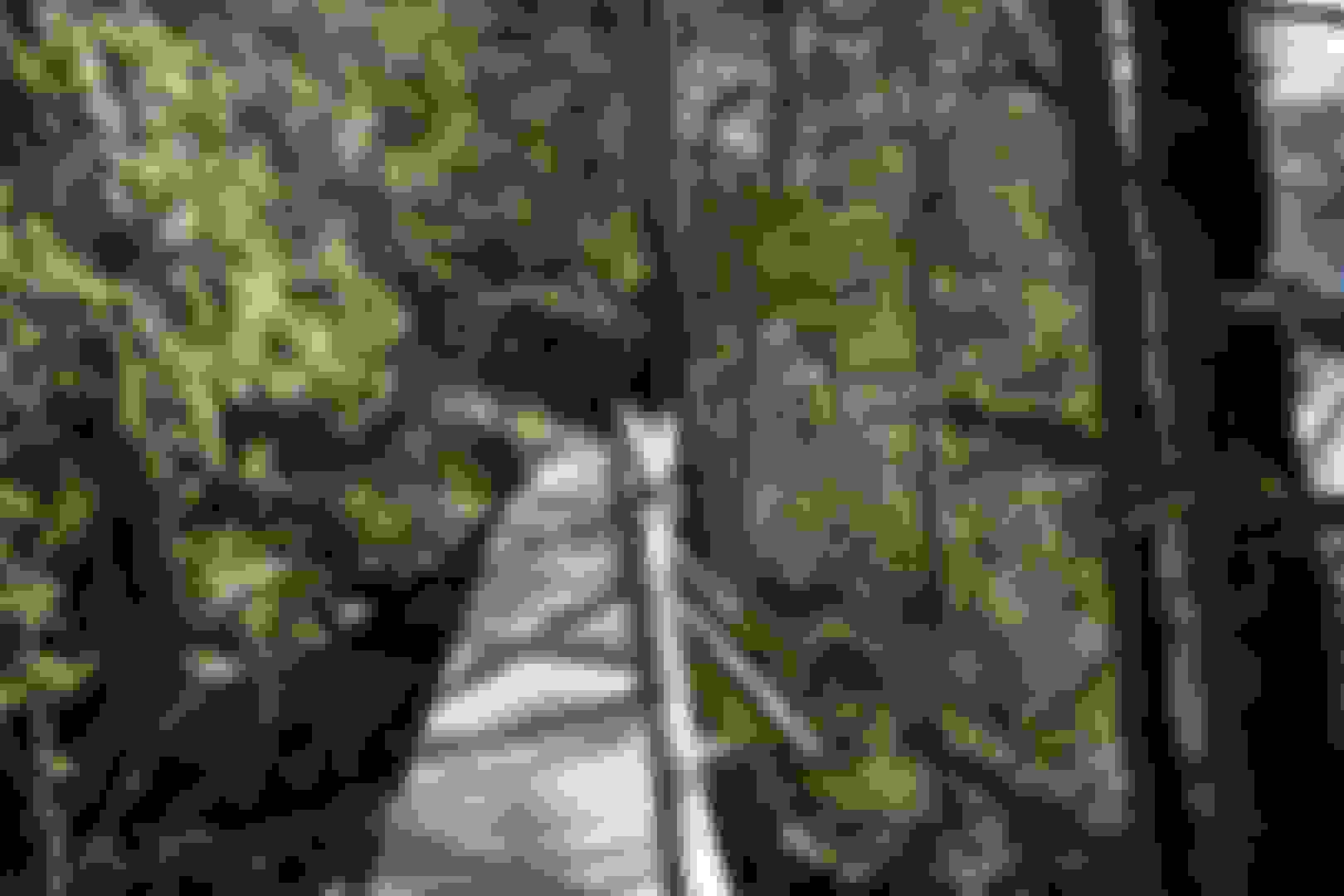
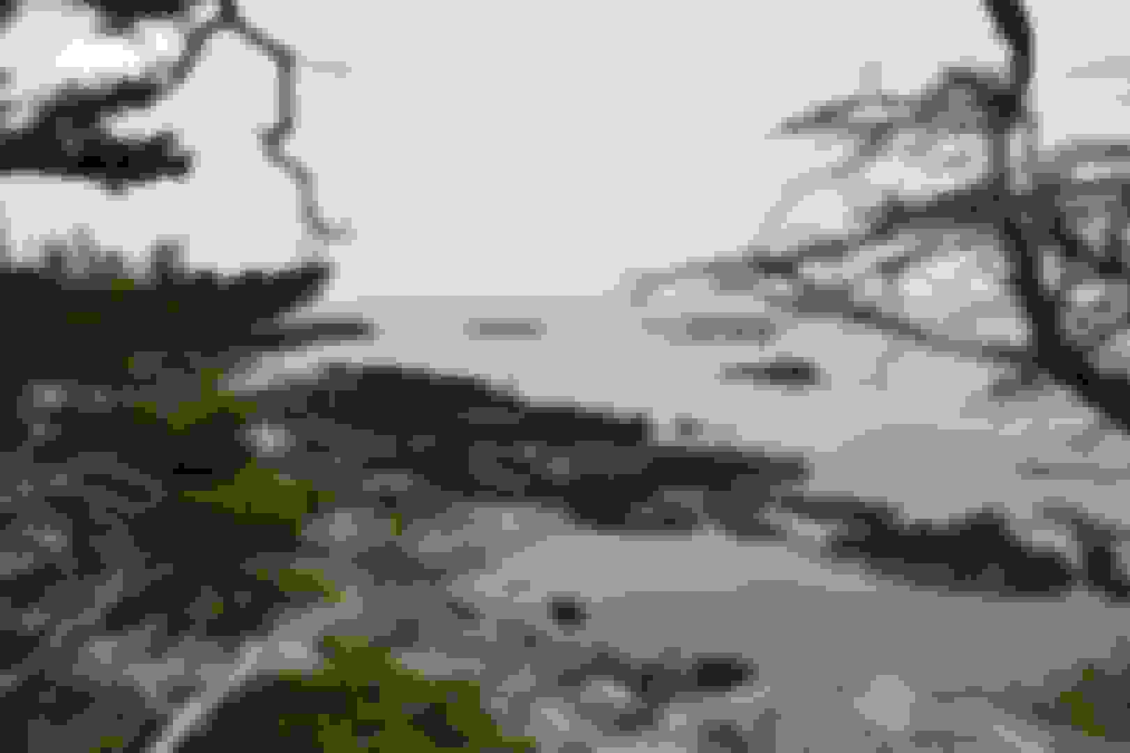
Isle au Haut (pronounced: i'll-a-HO) is a beautiful island off the coast of Stonington, Maine. Ancestral homelands of the honorable Penobscot tribe (my brothers of the Wabanaki Confederacy). About half the island, or 2,700 acres, is in park ownership; the rest consists of the community of Isle au Haut.
The Penobscot traditionally made baskets out of sweet grass, brown ash, and birch bark. These materials grow in wetlands throughout Maine. However, the species are threatened due to habitat destruction and the emerald ash borer. This insect threatens to destroy all ash trees in Maine, much as it already has devastated ash forests in the Midwest.
The baskets were traditionally made for practical use, but after European contact, the Penobscot began making "fancy baskets" for trade with the Europeans. Basket-making is traditionally a woman's skill passed down in families. Many members of the tribe have been learning traditional forms and creating new variations.
Theresa Secord (born 1958) is an artist, basketmaker, geologist and activist from Maine. She is a member of the Penobscot nation, and the great-granddaughter of the well-known weaver Philomene Saulis Nelson. She co-founded, and was the director of, the Maine Indian Basketmakers Alliance (MIBA) in Bar Harbor, Maine.
Her work has been shown at the Hudson Museum at the University of Maine, at the National Museum of the American Indian in New York, and at the Southwest Museum of the American Indian in Los Angeles.
Camping is permitted in designated sites only and reservations are required. Five sites are available at Duck Harbor May 15–October 13.
There are five miles of paved roads and seven miles of rough, unpaved roads on the island. Mountain bikes are recommended.
Eighteen miles of trails offer opportunities to explore rocky shorelines, wooded uplands, marshes, bogs, and a mile-long freshwater lake.
Isle au Haut is linked to the mainland by a year-round, passenger-only ferry from Stonington to the Isle au Haut Town Landing. From mid-June through late September, the ferry also stops at the Duck Harbor Boat Landing, near the campground. The ferry operates on a first-come, first-served basis.
Well I finally visited all three sections of "my" National Park; Acadia National Park.This is a bit more difficult to visit as you can imagine.You need to get lucky and find a reservation spot for the campground (if you want to camp) which is very limited with sadly,just five campsites.I'm not sure why they don't offer at least twenty sites,even if the rest are just tent pads.Perhaps they just don't have the staff to handle too many visitors at once or perhaps there really isn't enough a call for camping over here.Though all reservations have been booked,two or three of the campsites were empty both nights I stayed.Leading me to believe that folks booked them,payed but never showed up.This is very unfortunate since no one else can take the no show and enjoy camping in their place.
This was very nice.Very secluded.I hiked in from town on my first day,hiked a four mile loop on my second day and hiked back to town to catch the boat back across on my final day.Very pretty and quaint.I don't like the stuck feeling of island life so a two nighter was just right for me.If you've been to other islands of Maine,this one likely wont overly impress and it's no doubt,the less pretty of the three sections of the park,it's still very cool to visit.Not sure I'll go back or anything but I'm glad I finally made it over.Well worth the visit.If you can't catch a reservation,I wouldn't sweat it.Go for a nice day hike by catching the early ferry over,then the last one back and you can enjoy the park just the same.Though I sure slept some good over there.Very peaceful.
Last edited by FORDF250HDXLT; 04-13-2020 at 07:44 PM.
Reason: Added photos - Updated info
Best wishes on your journeys my fellow American brothers of all ethnicities.I hope your walk is honorable and I hope you continue to protect our sacred mother earth for the future generations.Walk softly.Walk kindly.Walk proudly.
Mount Kineo is a prominent geological feature located on a 1,150-acre peninsula that extends from the easterly shore of Moosehead Lake in the northern forest of Maine. With 700-foot cliffs rising straight up from the water, it is the central feature of Mount Kineo State Park, a protected area of 800 acres managed by the Maine Department of Agriculture, Conservation and Forestry.
Wabanaki means People of the Dawnland. As the first people to greet the sunrise, they are responsible for “holding up the sky.”
Wabanaki people, including the Maliseet, Micmac, Passamaquoddy, Penobscot, and Abenaki Nations, have inhabited what is now northern New England, the Canadian Maritimes, and Quebec, since time immemorial according to oral histories, and for at least 13,000 years according to the archaeological record.
Wabanakis are constantly adapting in response to dramatic changes in the environment. Their cultures also have changed over time, with the development of sophisticated political networks, evolving philosophies, and a deep understanding of the landscape.
For generations, Wabanaki people traveled seasonally, planting corn on the riverbanks in the spring, harvesting fish on the coast and gathering berries during the summer, and hunting game in the woods during wintertime. Their mobile lifestyle was prosperous, but radically changed with the coming of European settlers around 400 years ago, and later with the splitting of ancestral territory through the establishment of arbitrary international and state borders.
Glaciers covered Maine 15,000 years ago. As the climate warmed a tundra landscape and large game evolved, including wooly mammoths, mastodons, and saber-toothed cats. Between 9,000 and as many as 13,000 years ago, Paleo Indians—ancestors of the Wabanaki— followed the big game, hunting and living in what is now Maine.
Rivers developed from melting glaciers and forests grew as the environment stabilized. The Wabanaki adapted to the changing ecosystem, becoming expert stone and toolmakers, weaving baskets and snowshoes, and creating other cultural items that enabled successful hunting and fishing. Lifestyles were mobile, and people traveled and traded over long distances.
Mount Kineo is located on Moosehead Lake. The mountain contains one of the largest formations of rhyolite (igneous rock that is the volcanic equivalent of granite) in the world. The Kineo Rhyolite is prized for being an extremely strong and durable stone, yet easily carved. For this reason, it was ideal for making projectile points and other tools.
Wabanaki oral histories re-count stories of Gluscabe, who created Mount Kineo by making an arrowhead out of a nearby stone and shooting it at a cow moose. The moose fell, and turned into that specific stone—Kineo Rhyolite—that is quarried at Mount Kineo and is the perfect tool for making projectile points.
When the inland sea covering Maine receded, it left a thick layer of marine clay—the Presumpscot Formation—perfect for forming pottery vessels. As populations grew, so did technology. Pottery making in Wabanaki communities began around 3000 years ago, making storing and cooking food much easier. This pot dates to about 2700 years ago and was found at Harlow's Point along the shoreline of Lake Auburn in 1881.
Penobscot author Joseph Nicolar recorded a tribal prophecy noting that elders, “decided, that when the strange people came, to receive them as friends, and if possible make brothers of them.”
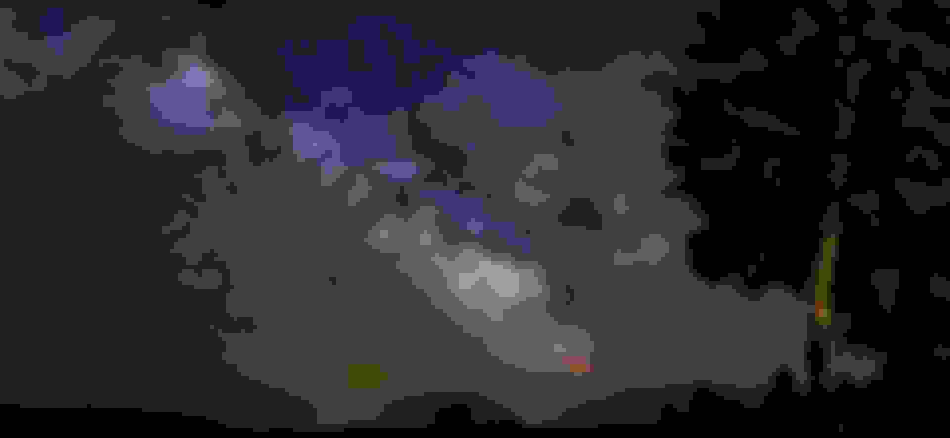
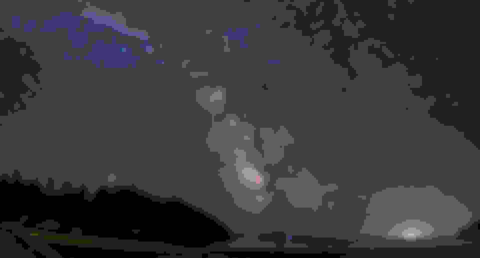
Though I am getting better with my new hobby,I must confess,it's more of the time of year than it is my camera shooting or processing skills at this point.I still have so much to learn about astrophotography though.It was very fun to shoot here after a day of fishing from the kayak out on the lake.This new hobby has brought a much closer connection between myself and father sky.You can't help but stand in awe in wonderment,realizing just how trivial one really is in the grand scheme of things.We're just tiny specs living upon a tiny spec we call mother earth and even though it's 100k light years across,it too is just a spec.We call it home........The Milky Way.
2020 update: I re-processed and stitched my raw files.The images were much better than I knew what to do with back in '18.Though I still want to reshoot here.This was before I could take multiple row panoramas.The Milky way was low in the sky so I could get it all but imagine with a row of the lake and another row over the top, just how much grander this one could be. Those are about 15 vertically shot images at 24mm across for those curious. The top one is just four or five of the core. Heavily overlapped to help lightroom stitch them. I now shoot in portrait/horizontal, shooting multiple rows across.
Last edited by FORDF250HDXLT; 04-13-2020 at 09:06 PM.
Reason: Added photos - Updated info
Holbrook Island Sanctuary State Park, Brooksville,Maine
Holbrook Island Sanctuary is a publicly owned nature preserve with recreational features occupying 1,345 acres on Penobscot Bay.The site includes upland forest and meadows, wetland marshes and ponds, and rocky mainland shores in addition to off-shore Holbrook Island.
The Milky Way from Bakeman beach,Brooksville,Maine.
Nikon D3400 - Rokinon RK24MAF-N - Five images wide by four rows up,for a combined twenty stitched together images,make up the multi row panorama of the Milky Way - 15 sec exposure - 3200 ISO - Low level lighting - Processed using Lightroom
Re-processed (same raw files, not a re-shoot of the sky) in 2020. Spot removed air plains. Left shooting star (left side).
Cropped core (from same pano above). Cropped out light stand. Had I to do this again, or when I do, I should say, I'll turn up my low level light in brightness and tilt to light up those trees even better. I also learned to use settings for sharper foreground settings for my bottom row rather than use the best star settings for the upper rows too (as you'll see in latter photos). I really need to get photoshop as well, this way I can really step things up by taking a pure, high quality (but very dim which will pull in hardly any stars if anyway) bottom row/ foreground, then combine those with "layers" to my star shots. Then there's also stacking with other software that can be done so I can step things up still drastically with the same exact equipment. I just have to get to practicing them.
Bill Haviland, Deer Isle historian and anthropologist, proceeded to describe the history of local indigenous peoples to the large audience recently gathered at Brooksville Town Hall.
Haviland, professor emeritus at University of Vermont, and prolific writer, has for many years conducted extensive research into local native American tribes.
As he described their various histories their names rolled off his tongue with the easy familiarity of long and probing study: Etchemins, Wabanakis (desendants of the Etchemins), Maliseets, Abenakis, Penobscots. Referring to places such as Bagaduce and Eggemoggin (a corruption of the original Indian name meaning “place of the fish weirs”), Haviland remarked that it is “a wonder that [such] place names are still known,” testament to at least one aspect of local native peoples’ experience in contrast to that of others across the country.
“Maine was unusual in North America’s history with indigenous peoples,” he said, in that native populations weren’t forcibly moved as were so many others. Maine tribes “stayed put in their homeland.”In describing the extensive trade practices of the tribes, both with one another as well as with the French and the English, Haviland painted a lively picture of the “Canoe Indians.” Expert seafarers in their light-weight canoes, they plied the vast waterways that served as “the interstate highways of the time.” The mouth of the Bagaduce, for example, with its rising and falling tides, was long the “hub of the water routes … a traditional trading place,” he noted. Another significant trade location, he pointed out, was Naskeag Point, where natives traded with others from as far away as the Mid-Atlantic.
The park was established in 1971 when Anita Harris donated to the state 1,230 acres of the holdings she had been acquiring in Brooksville since the 1960s. In accordance with Harris's wishes, the park has been maintained in its original state with minimal modern improvements.
The park has 11 miles of old trails for hiking and cross-country skiing that traverse a variety of coastal habitats. The park also offers swimming, kayaking, and fishing.
The state's many precious resources include the largest light-pollution-free swath in the eastern half of the U.S. A new effort is underway to protect it with 'dark sky' designations and promote it as an out-of-this-world attraction.Maine has many natural resources, but a new movement is focused on one that hardly ever gets talked about. Maybe that’s because it is something that can only be seen in the dark of night.Maine contains the largest light-pollution-free area in the eastern half of the United States. Measured on the Bortle scale (think Richter scale for astronomers) the darkest night skies in northern Maine place second on a scale of one to nine. The state’s quiet resource is a true night sky, one full of stars and planets, rather than the refracted light of civilization.
“You don’t get skies this dark – and contiguous – until you reach Kansas, or some parts of Texas,” said Andrew Bossie, the executive director of Friends of Katahdin Woods and Waters National Monument, where the darkest skies in the state were measured last year.
“We’ve got something special here,” Bossie said. “And we’re eager to invite others to share in it so we can put Maine skies and stars on the map.”
I love to travel as you can see,as you turn the pages through this thread but I sure love my ancestral homelands too. Ever been to Maine? What are you waiting for! Come on up and explore,we'd love to have ya visit.
Last edited by FORDF250HDXLT; 04-14-2020 at 02:37 PM.
Reason: Updated photo and info
 03-26-2018, 10:55 PM


 Ever been to Maine? What are you waiting for! Come on up and explore,we'd love to have ya visit.


